
Evidence of global warming?
The extreme high tides in Mud Bay (and everywhere else) the last few days are called “perihelion tides.” The name comes from the term perihelion, which is the point in the path of a celestial body that is nearest to the sun. For earth, the perihelion is reached around January 2nd. Since the moon is also in the part of its monthly orbit when it is closest to the earth, both bodies are having more gravitational effect than average on the tidal range. The result is higher than normal tides for the period January 2nd to January 6th.
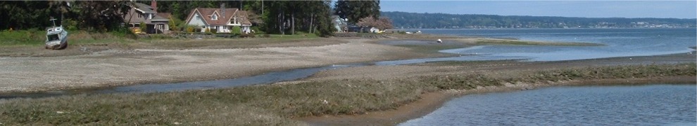
Kitsap Sun reporter Chris Dunagan recently wrote in his Watching Our Water Ways blog that the state Department of Ecology is asking people to submit photographs of the high tides, including their exact time and location. Ecology plans to use the photos to help document the impact on Washington coasts of rising sea levels. I don’t plan to submit the photo I took, just share it with anyone reading my blog. It was taken this morning a few minutes before high tide in Dyes Inlet: 9:39 AM, 13.8 feet according to the Saltwater Tides web site. The photo shows the unusual condition of water on the land side of the small bulkhead in front of my house.

Send a picture of what it looks like with the tide out.
Pingback: King Tide Morning « Mud Bay Blog