By law the Washington state utility tax rate on Cascade Natural Gas accounts is supposed to be 3.852 percent. After looking over my most recent bill, by my calculation the state is collecting more tax than it should. Although collecting extra tax helps offset our current $2.6 billion budget shortfall, you would still think that the Department of Revenue would double-check every revenue source for accuracy. But if they do, they don’t figure percent the way I was taught.
Continue reading
Monthly Archives: January 2010
Padding the State Utility Tax
Posted in Government
Selling It
I always try to be a good citizen when I’m selling stuff on Craigs List. I price my items reasonably, always provide a photo, keep up with the email from interested parties, and remove my ads as soon as the items sell. Ironically, the bad form I exhibited recently, which caused my ad to removed, led to a quick sale.
Continue reading
Posted in Cars
Rocky Point Pond

Local rain gauge
A low spot between two driveways on the Mud Bay side of Rocky Point Road serves as an informal neighborhood rain gauge. Whenever we get several consecutive days of all-day rain, a small pond forms there (see picture). Today, the water is almost a foot deep in places and the pond is as large as I have ever seen it. The pond doesn’t last long as the area drains quickly once the rain stops. Calling it a “seasonal pond” seems overstated. “Temporary pond” isn’t apt either. I just call it the Rocky Point Pond.
A couple of summers ago the property owners landscaped the area. They cleared out the underbrush, planted grass in the low spot, and added a bench and a few shrubs and ferns along their driveway. The next winter the area seemed to drain better and the pond was never more than a large puddle. But for now it’s back, at least until the weather changes.
Posted in Mud Bay & Rocky Point
Perihelion Tides

Evidence of global warming?
The extreme high tides in Mud Bay (and everywhere else) the last few days are called “perihelion tides.” The name comes from the term perihelion, which is the point in the path of a celestial body that is nearest to the sun. For earth, the perihelion is reached around January 2nd. Since the moon is also in the part of its monthly orbit when it is closest to the earth, both bodies are having more gravitational effect than average on the tidal range. The result is higher than normal tides for the period January 2nd to January 6th.
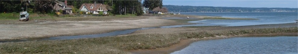
Kitsap Sun reporter Chris Dunagan recently wrote in his Watching Our Water Ways blog that the state Department of Ecology is asking people to submit photographs of the high tides, including their exact time and location. Ecology plans to use the photos to help document the impact on Washington coasts of rising sea levels. I don’t plan to submit the photo I took, just share it with anyone reading my blog. It was taken this morning a few minutes before high tide in Dyes Inlet: 9:39 AM, 13.8 feet according to the Saltwater Tides web site. The photo shows the unusual condition of water on the land side of the small bulkhead in front of my house.
Posted in Mud Bay & Rocky Point
Bumper Basher
The fancy chrome rear bumper on my Toyota Tacoma apparently does more than just look good. And house the license plate. While it came out second best when my truck was rear-ended by a PT Cruiser this morning on Wheaton Way, it appears to have prevented any damage to the rest of the vehicle.
Continue reading
Posted in Cars
A New Furnace
Layers. Lots of layers. That’s what I wore and that’s what covered the bed at night during the recent four-day period when I was without heat. And while I wouldn’t recommend turning off your furnace in late December in western Washington, it can be done as long as the weather cooperates.
Continue reading
