
Skokomish River
Before I left home this morning I already knew that the National Weather Service had canceled its flood warning for the Skokomish River. Yesterday’s storm, which dumped more than 2.5 inches of rain on the Skokomish River watershed, caused the river to rise but left it just under the 16-foot flood stage. While I didn’t see any flooding—except for a few spots where the high-water signs on the Skokomish Valley Road are permanently posted—my day trip took me past one of my favorite spots along the river.
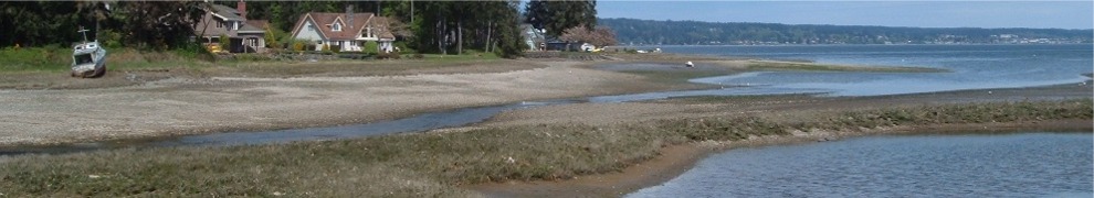
Draining some 240 square miles of the southeast corner of the Olympic Mountains, the Skokomish has two forks—North and South—which join about nine miles up from where it flows into Annas Bay at the Great Bend of the Hood Canal. The last few miles, where the main river flows through the rural Skokomish Valley, are the most flood prone. Almost every fall during the rainy season the river seems to flood there. Researchers trace the flooding to long-ago land-use decisions about logging, road building, and damming the North Fork at Lake Cushman. All of these led to the buildup of sedimentation in the valley and creation of a floodplain.
Today I took the Purdy Cutoff Road on my way to the Skokomish Valley. Just up the road from Hunter Farms there’s a spot where the river makes a 90-degree turn. You can stand on the road shoulder perhaps 10 feet above the river and watch it coming right at you (see photo). But even swollen with rain the river makes the turn gently. There’s no dike, no reinforcement, really nothing to protect the road or the river bank. Despite being high and swift this time of year the river seems to know exactly where the channel is and stays in it. The road turns too and together they head north toward the Hood Canal. The river floods both upstream and downstream from that point, but not there.
On the other side of the road there’s an old red building with a green metal roof. Today someone lives there, but years ago it housed the equipment and offices for a fish hatchery. A whimsical sign out front says “Fish House.” There’s a small waterfall and a pond in the yard fed by a stream that flows down from the ridge behind the house. The house looks west across the road, and the view is of the river flowing directly toward it.
To add to the beauty and solitude of this spot there are no other houses along the cutoff road. Just the river on one side and the steep forested ridge that forms Purdy Canyon on the other. Even when the sun is out much of the road is shaded by an overhead canopy of moss-covered maples and cedars. The area reminds me of the Hoh Rain Forest on the western side of the Olympic Mountains.

What a pretty picture.